Aeronautical chart IGN to fly over the south-east of the France, in paper version.
Data sheet
ICAO Maps 2023
The International Civil Aviation Organization (ICAO) charts are designed for visual flight, based on general civil aviation information (SIA).
Airspace covered: SFC-FL-115
Updated every year
| Department | Department number |
|---|---|
| Ain | 01 |
| Alpes-de-Haute-Provence | 04 |
| Alpes-Maritimes | 06 |
| Ardèche | 07 |
| Ariege | 09 |
| Allier | 03 |
| Aude | 11 |
| Aveyron | 12 |
| Bouches-du-Rhône | 13 |
| Cantal | 15 |
| Gold Coast | 21 |
| Corsica | 20 |
| Drome | 26 |
| Doubs | 25 |
| Gard | 30 |
| Gers | 32 |
| Haute-Garonne | 31 |
| Haute-Loire | 43 |
| Haute-Savoie | 74 |
| Hautes-Alpes | 05 |
| Hautes-Pyrénées | 65 |
| Herault | 34 |
| Isère | 38 |
| Jura | 39 |
| Lot | 46 |
| Loire | 42 |
| Loiret | 45 |
| Lozère | 48 |
| Maine-et-Loire | 49 |
| Monaco | 98 |
| Nièvre | 58 |
| Puy-de-Dôme | 63 |
| Pyrénées-Orientales | 66 |
| Rhône | 69 |
| Saone-et-Loire | 71 |
| Savoie | 73 |
| Sarthe | 72 |
| Tarn | 81 |
| Tarn-et-Garonne | 82 |
| Territoire de Belfort | 90 |
| Var | 83 |
| Vaucluse | 84 |
| Yonne | 89 |
 5
5 Reference: CAR NCA 23-2
Brand: SIA
This aeronautical map called Nice Côte d'Azur covers a rectangular area bounded on the west by Pierrelate and Istres on the east by Barcelonette and Monaco 2nd Edition 2023 - effective from 30 November 2023
Reference: POC VFR 23-2
Brand: SIA
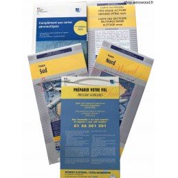
Discover our VFR Package - VFR Documents 2023 - 2nd Edition (updated 30/11/2023), a must-have product for all general and recreational aviation pilots. This complete and updated pouch will allow you to navigate safely and respect the rules of the air in force. Please note that the PVC envelope is no longer included with this edition.
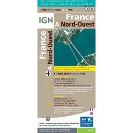
Reference: 49500
Brand: IGN
Aeronautical chart IGN to fly over the northwest of the France, in plasticized paper version.
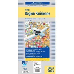
Reference: CAR RP 23-2
Brand: SIA
This aeronautical map, called Paris Région Parisienne, covers a rectangular area bounded to the west by Rouen and Châteaudun; 2nd Edition 2023 - effective from 30 November 2023
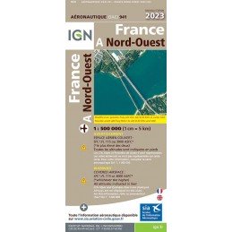
Reference: 46496
Brand: IGN
Aeronautical chart IGN to fly over the northwest of the France, in paper version.
| Carrier | Information | Delivery |
|---|---|---|
 | Parcel delivered to the Pickup point of your choice within 24/48 hours. You will be notified via email and SMS. | |
 | Parcel delivered to your home the next day before 6pm. The day before delivery, you will be notified by e-mail and SMS. |