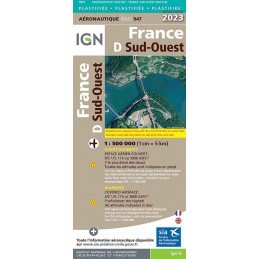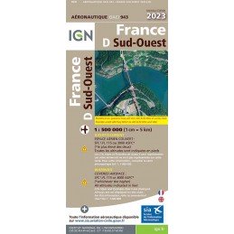
Reference: 46498
Brand: IGN
2023 Edition - Map 943 IGN ICAO - FRANCE SUD OUEST
Aeronautical chart IGN to fly over the southwest of the France, in paper version.
Price
€23.49
On stock
We open for pre-order the new edition of your favorite aero cards. They will be available in stock for immediate shipment from April 20, 2023. Cards and pouches will be delivered 24/48h.
There are 17 products.
Reference: 46498
Brand: IGN
Aeronautical chart IGN to fly over the southwest of the France, in paper version.
Reference: CAR PLAS LVR 23-2
Brand: SIA
This aeronautical map, called LYON VALLEE DU RHONE, covers a rectangular area bounded to the west by Monceau-les-Mines and Aubenas to the east by Geneva and Gap. 2nd Edition 2023 LAMINATED - effective from November 30, 2023
Reference: CAR PLAS MDR 23-2
Brand: SIA
This aeronautical map, called MARSEILLE DELTA DU RHONE, covers a rectangular area bounded on the west by Mende and Narbonne on the east by Serres and Le Castelet 2nd Edition2023 LAMINATED - in force from November 30, 2023
Reference: POC VFR 23-2
Brand: SIA
Discover our VFR Package - VFR Documents 2023 - 2nd Edition (updated 30/11/2023), a must-have product for all general and recreational aviation pilots. This complete and updated pouch will allow you to navigate safely and respect the rules of the air in force. Please note that the PVC envelope is no longer included with this edition.
Reference: 49502
Brand: IGN
Aeronautical chart IGN to fly over the southwest of the France, in plasticized paper version.
Reference: 49501
Brand: IGN
Aeronautical chart IGN to fly over the north-east of the France, in plasticized paper version.
Reference: CAR MDR 23-2
Brand: SIA
This aeronautical map, called MARSEILLE DELTA DU RHONE, covers a rectangular area bounded on the west by Mende and Narbonne on the east by Serres and Le Castelet 2nd Edition 2023 - effective from 30 November 2023
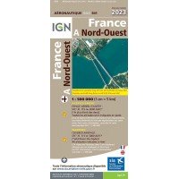
Reference: 46496
Brand: IGN
Aeronautical chart IGN to fly over the northwest of the France, in paper version.
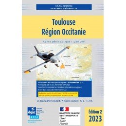
Reference: CAR TMP 23-2
Brand: SIA
This aeronautical map, called Toulouse Région Occitanie, covers a rectangular area bounded on the west by Agen and Tarbes/Lourdes, on the east by Rodez and Narbonne. 2nd Edition 2023 - effective from 30 November 2023
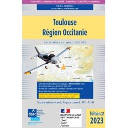
Reference: CAR PLAS TMP 23-2
Brand: SIA
This aeronautical map, called Toulouse Région Occitanie, covers a rectangular area bounded on the west by Agen and Tarbes/Lourdes, on the east by Rodez and Narbonne. 2nd Edition 2023 LAMINATED - effective from November 30, 2023
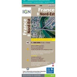
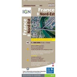
Reference: 46497
Brand: IGN
Aeronautical chart IGN to fly over the north-east of the France, in paper version.
Reference: CAR PLAS NCA 23-2
Brand: SIA
This aeronautical map called Nice Côte d'Azur covers a rectangular area bounded on the west by Pierrelate and Istres on the east by Barcelonette and Monaco 2nd Edition 2023 LAMINATED - effective from November 30, 2023