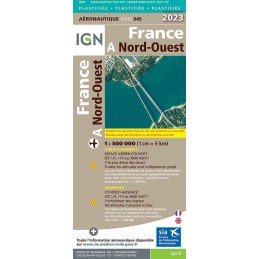
Reference: 49500
Brand: IGN
2023 Edition Laminated - Map 945 IGN ICAO - FRANCE NORD OUEST
Aeronautical chart IGN to fly over the northwest of the France, in plasticized paper version.
Price €29.00
On stock
This aeronautical map, called LYON VALLEE DU RHONE, covers a rectangular area bounded to the west by Monceau-les-Mines and Aubenas
to the east by Geneva and Gap.
2nd Edition 2023 LAMINATED - effective from November 30, 2023
Laminated card - Scale 1/250 000
Covered airspace: surface - FL 195
This aeronautical chart called LYON VALLEE DU RHONE covers a delimited rectangular area
to the west by Monceau les Mines and Aubenas
to the east by Geneva and Gap
Reference: 49500
Brand: IGN
Aeronautical chart IGN to fly over the northwest of the France, in plasticized paper version.
Reference: POC PVC VFR
Brand: SIA
3-fold PVC pouch formerly supplied but as of 2023 this is a separate accessory from the VFR pouch.
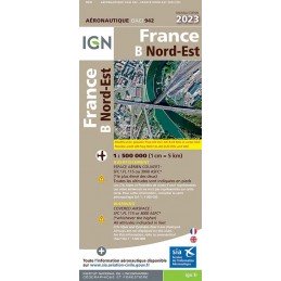
Reference: 46497
Brand: IGN
Aeronautical chart IGN to fly over the north-east of the France, in paper version.
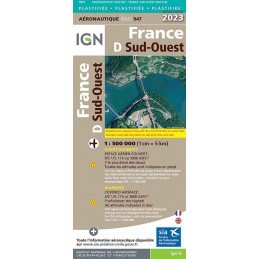
Reference: 49502
Brand: IGN
Aeronautical chart IGN to fly over the southwest of the France, in plasticized paper version.
Reference: CAR NCA 23-2
Brand: SIA
This aeronautical map called Nice Côte d'Azur covers a rectangular area bounded on the west by Pierrelate and Istres on the east by Barcelonette and Monaco 2nd Edition 2023 - effective from 30 November 2023
| Carrier | Information | Delivery |
|---|---|---|
 | Parcel delivered to the Pickup point of your choice within 24/48 hours. You will be notified via email and SMS. | |
 | Parcel delivered to your home the next day before 6pm. The day before delivery, you will be notified by e-mail and SMS. |