Reference: POC PVC VFR
Brand: SIA
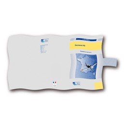
PVC Envelope for VFR Documents - 3 Folds
3-fold PVC pouch formerly supplied but as of 2023 this is a separate accessory from the VFR pouch.
Price
€2.52
On stock