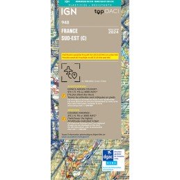
Reference: 51520
Brand: IGN
copy of 2023 Edition Laminated - Map 948 IGN ICAO - FRANCE SUD EST
Aeronautical chart IGN to fly over the south-east of the France, in plasticized paper version.
Price €29.00
On stock
This aeronautical map called Nice Côte d'Azur covers a rectangular area bounded on the west by Pierrelate and Istres on the east by Barcelonette and Monaco
2nd Edition 2023 - effective from 30 November 2023
Scale 1:250,000
This aeronautical chart called Nice Côte d'Azur covers a delimited rectangular area:
to the west by Pierrelate and Istres
to the east by Barcelonette and Monaco
This map does not include Corsica
Covered airspace: surface - FL 195
Reference: 51520
Brand: IGN
Aeronautical chart IGN to fly over the south-east of the France, in plasticized paper version.
Reference: CAR RP 24-1
Brand: SIA
This aeronautical map, called Paris Région Parisienne, covers a rectangular area bounded to the west by Rouen and Châteaudun; 2nd Edition 2023 - effective from 30 November 2023
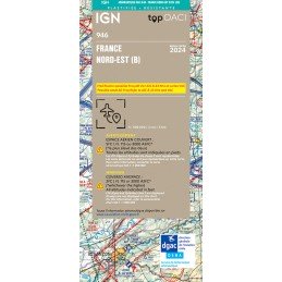
Reference: 51517
Brand: IGN
Aeronautical chart IGN to fly over the north-east of the France, in plasticized paper version.
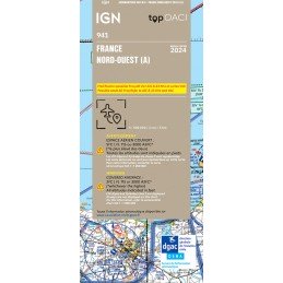
Reference: 51513
Brand: IGN
Aeronautical chart IGN to fly over the northwest of the France, in paper version.
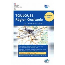
Reference: CAR TMP 24-1
Brand: SIA
This aeronautical map, called Toulouse Région Occitanie, covers a rectangular area bounded on the west by Agen and Tarbes/Lourdes, on the east by Rodez and Narbonne. 2nd Edition 2023 - effective from 30 November 2023
| Carrier | Information | Delivery |
|---|---|---|
 | Parcel delivered to the Pickup point of your choice within 24/48 hours. You will be notified via email and SMS. | |
 | Parcel delivered to your home the next day before 6pm. The day before delivery, you will be notified by e-mail and SMS. |